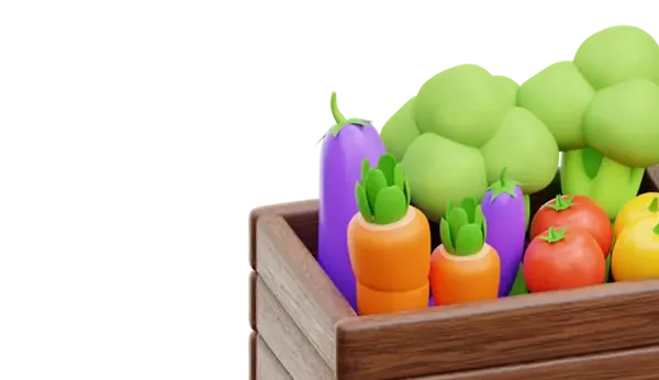


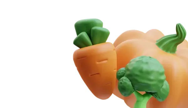


In a time period marked by unpredictable climate, gradual soil depletion, labor shortages, and increasing demands for traceability and sustainability, precision agriculture technologies have ceased to be a luxury and become a necessity. Potato producers around the world are facing the challenge of optimizing expenses, predicting yields, and preventing losses before they occur. In response to the demands of modern times, the company Farmevо has created the unique potato platform Lense AI, which facilitates informed decision-making based on data covering the entire value chain, as reported by the specialized resource Potato News Today.
The presented solution utilizes visual data obtained from unmanned aerial vehicles, applies artificial intelligence for diagnosis, and conducts geospatial analysis to provide users with real-time information on the status of potato plants, crop yield, soil moisture, and overall productivity.
For example, thanks to the platform's capabilities, potato farmers can identify even the earliest signs of stress down to individual leaves. By using high-resolution drone images and anomaly detection algorithms, farmers can visualize stress symptoms caused by diseases, nutrient deficiencies, or pest actions long before damage becomes visible to the naked eye.
Currently, the platform can distinguish healthy foliage from suppressed foliage, but works are underway to classify specific stress factors, such as fungal diseases and uneven nutrient distribution. This innovation, once implemented, could fundamentally change the approach to planning crop protection measures throughout the growing season and contribute to comprehensive pest management.
Within its functionality, the system also provides accurate yield forecasts. By analyzing plant counts and distances between them at the emergence stage, artificial intelligence calculates yield forecasts for known potato varieties with over 85% accuracy. For new varieties, samples of tubers in the early formation stage need to be provided. Final yield assessments are updated before harvest to eliminate unproductive areas, making the data obtained even more useful for production planning and marketing. Currently, the platform focuses on estimating tuber weight, initiating further improvements for assessing tuber quality before harvest, such as shape or defect detection, which gives it key importance in the agricultural economy.
The platform also offers detailed soil moisture maps during the pre-seeding period, dividing zones into four levels: saturated, moist, drying, and dry. This spatial information allows for more efficient water usage and adjustment of irrigation strategies according to the field's individual characteristics to save resources without compromising yields.
By integrating with systems such as John Deere Operations Center and being compatible with DJI drones, this platform enables the application of variable-rate chemical input and task planning without the need for special software training.
Users can input characteristics of specific potato varieties and track their productivity in various microclimatic and soil conditions. Data collected during the season help identify the most suitable varieties and inform seed selection for future plantings. Users can study health indicators, stress maps, and yield forecasts for different varieties and fields.
The use of AI-based aerial imaging eliminates the need for labor-intensive field surveys and, combined with DJI drones, enables the creation of variable-rate application maps for targeted use of protective measures, leading to cost savings and improved sustainability. For example, experimental studies on a livestock field in the Netherlands showed a 93% reduction in herbicide use after implementing the platform to identify weed-infested areas and conduct spot treatments.
Developers plan to introduce the following innovations: integration of weather data and climate alerts; enhanced detection of potato disease anomalies; development of a notification system suggesting drone flights at critical plant development stages, such as tuber formation; expanded monitoring of carbon footprint to provide accurate sustainable development data.